UNESCO Global Geopark The South Funen Archipelago
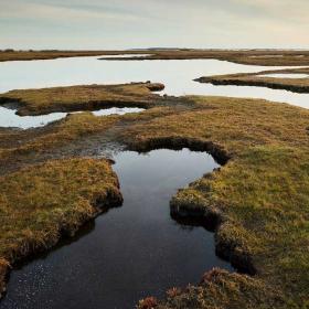
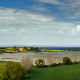
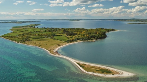
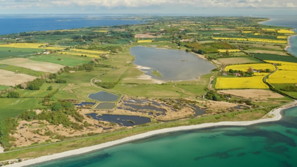
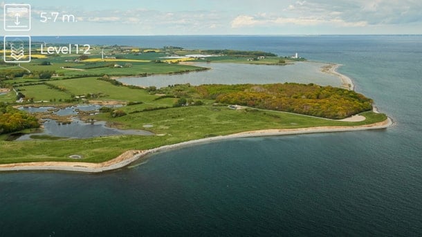
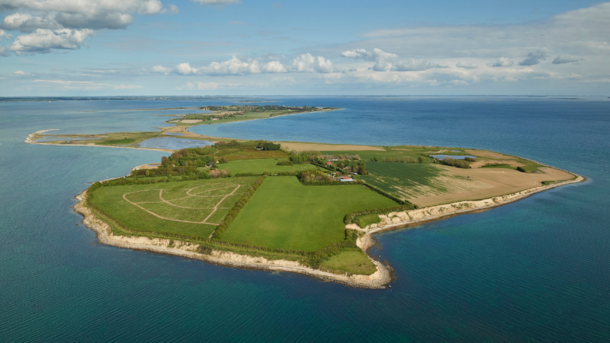
The UNESCO Global Geopark The South Funen Archipelago is the story of a "drowned" ice age landscape. A dramatic rise in sea levels created the landscape that for the last 10,000 years has formed countless nature experiences.
Explore the Geopark
In March 2024, Geopark The South Funen Archipelago was officially designated as a UNESCO Global Geopark, a significant international recognition of the area's uniqueness.
If you're wondering what a UNESCO Global Geopark is, we got you:
A UNESCO Global Geopark is a consolidated geographical area with sites and landscapes of international geological significance, where a comprehensive approach to utilization/protection, education, and sustainable development is applied.
Use your smartphone for navigation and inspiration by downloading the Geopark App
for iOS here and for Android right here.
10 highlights for the bucket list
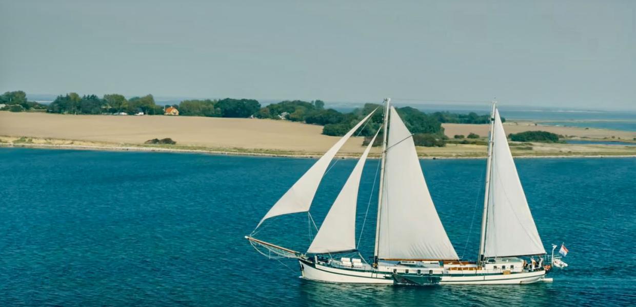
Throughout history, the area has been known for its beautiful landscapes, idyllic nature, and some of the best waters in the world for seafarers. Come and see for yourself - we've handpicked 10 highlights for you to add to your bucket list. Click on 'map' at the top to switch to the map view, which offers a better overview.
Geopark: Avernakø
Avernakø is situated in the South Funen Archipelago and is reachable by ferry from Faaborg. the sail lasts 30 min. and 70 min. if the route passes by Lyø. The island is about 8 km. long and accommodat...
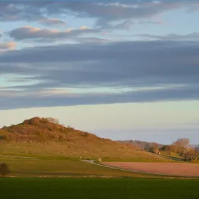
Svanninge Bakker, (Hills)
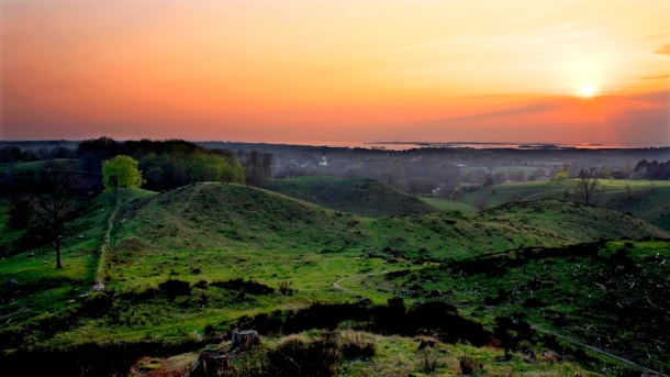
Take a hike you'll never forget in the breathtaking Svaninge Hills and Mountains.
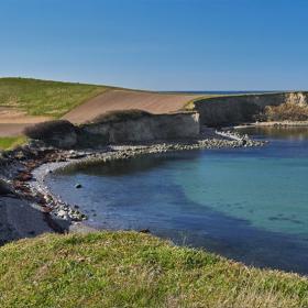
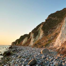
Voderup Klint
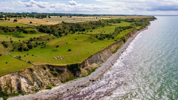
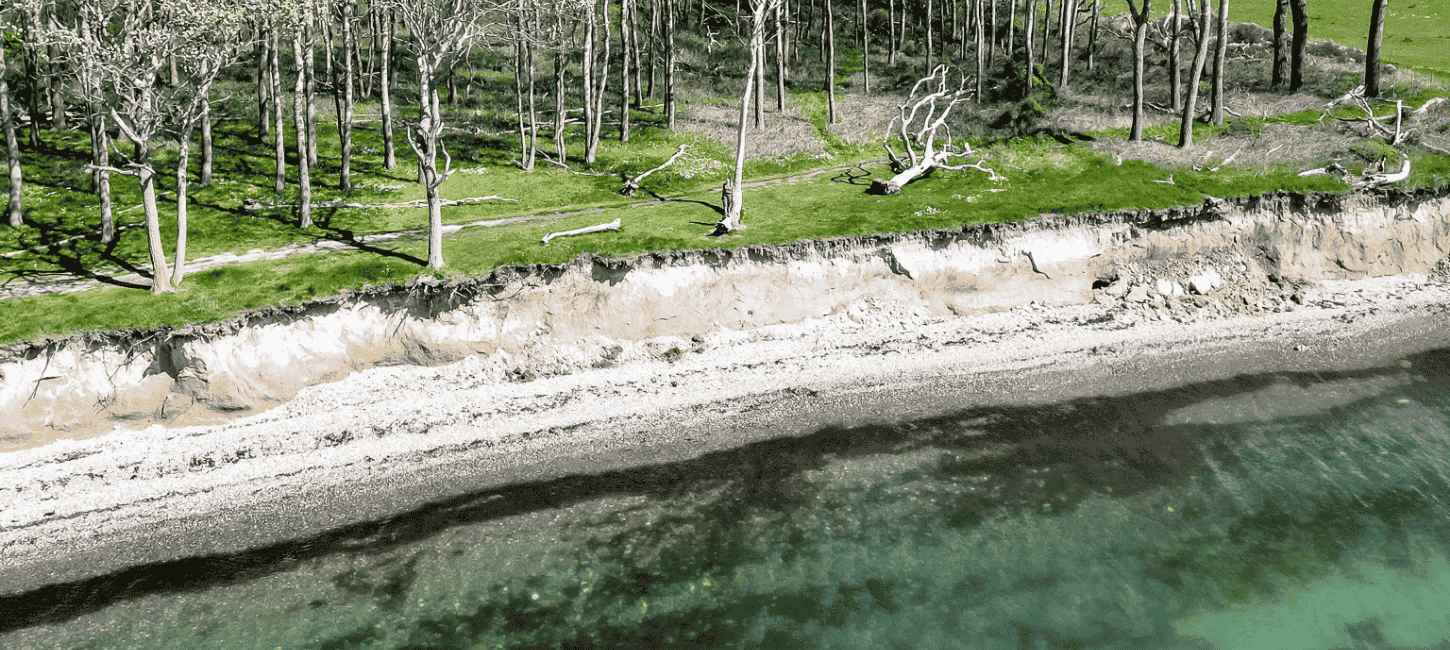
One of the most beautiful places on Ærø is the moraine cliffs at Voderup. This is truly an area you would not want to miss.
Thurø Rev Beach
Thurø Rev is one of the best beaches for swimming, and additionally, it is a public beach.
Geopark The South Funen Archipelago
Experience the "drowned" ice age landscape of which Ærø is a part.
Øhavsstien
When completed ïn february 2008 a 220 kilometre-long hiking trail will circumvent the South Funen Archipelago for short or lo...
Scenic dive: Dovns Klint - The southern part of the Langeland Belt
The southern tip of Langeland is known as Dovns Klint. This dive site offers a varied seabed with chalk deposits, flatfish and a wealth of macro-organisms in the seaweed. The surrounding countryside i...
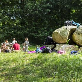
Damestenen
Visit the Lady Stone
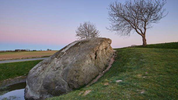
The Lady Stone is located just north of the small town of Hesselager, as it has been for approximately 18,000 years. It is Denmark's largest stone on land. Once part of the bedro...
