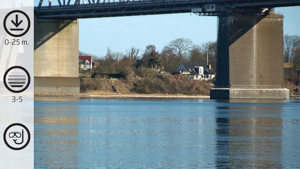
Snoghøj
Sugarkelp belts with viviparous blenny. Common eelgrass meadows with many pipefish. The topography of the seabed, its large variety and vegetation is second to none. Many starfish. Opportunity to experience the beautiful bridge pier.
Facts:
How to find: Coming from E20, take Exit 59 at Fredericia. Drive towards towards Snoghøj at Snoghøj Landevej. After a couple of hundred metres turns left at Lyngsoddevej and then right away turn right at Snoghøjvej. At the end of the road, turn left, and after 50 metres you end up at the parking area at Lillebælt.
Geocoordinates:
Longitude: 9.7157257815
Latitude: 55.519732223
Google Earth Coordinates:
Latitude: 55°31'10.55"N
Longtitude: 9°42'56.65"Ø
Getting in and up the water: A good place is right under the bridge
Highlights: The varying seabed conditions. Suitable for snorkeling.
Air filling station: You can get your airbottle refilled at Hindsgavl Camping in Middelfart (open all year round) during opening times: Hindsgavl Camping. Alternatively ask the local diving club in Middelfart, Tel.: +45 3311 1323 : Dykkerklubben Marsvinet
Best season: All year round
Dangerous areas: Do not get out of the belt and make sure the clearly marked with 'A' flag. Sailing close to the shore occurs throughout the year.
Depth: 0-25 m.
Tide: The tide can be strong.
Level of difficulty (1-5): 3-5
Permissions: None
Facilities: Parking space and toilets for a fee (please remember coins)
Photo opportunities: Good opportunity for wide angle and macro
Snoghøj
The dive at Snoghøj takes place right next to the Old Lillebælt Bridge at The Jutland side. At the end of Gl Færgevej by Snoghøj you park your car just 10 metres from the water edge. Here, the local boat club have their clubhouse and a jetty. This means that there is not far to go to enter the water.
It is possible to enter the water to the right of the jetty, but the best solution would be to walk along the beach until you are standing under the Old Lillebælt Bridge. From here, take the compass direction to the westernmost corner of the bridge pier. Please note that the compass is affected by the iron bridge and the tide can lead you off course.
Ahead of you is a great dive. The seabed topography, the large variety and vegetation is second to none. It soon becomes deep and down to 10 metres depth. Then it goes down to approx. 20 metres depth, after which it rises slightly. If you are under the bridge when a train is approaching then you are not in doubt that you are under a railway bridge. When approaching the bridge pier, you are greeted by large rocks and little by remnants of a mine defence mechanism rising a few metres above the seabed.
The bridge pier is divided into several levels and bridge’s granite-clad sides are intact and very beautiful, despite the fact that they have been immersed in saline water since the 1930s. As a diver, there is ample opportunity to collect fishing gear which is attached to the bridge pier.
At the seabed you will be able to spot several relics from the time when the bridge was built, including iron scaffolding but also newer "lost" items such as bicycles.
On the way back towards the shore small slopes with waving sugarkelp and small caves where specifically the viviparous blenny hide, are passed by. It is a really exciting dive, where you easily get to immerse yourself in all the impressions and thereby forget the time. In order to take the shortest path back towards the shore and the parking area, you can choose to take a slanted return course.
Be aware that the dive out to the pier closest to Jutland, is a long dive and should only be undertaken when there is weak or no tide. It is difficult correct against the tide, as you have to swim approx. 150 metres. You can reach a maximum depth of 25 metres, but most of the dive takes place between 17-20 metres depth.